Deshpande Foundation
Development Dialogue

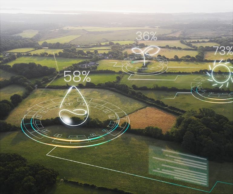
GIS initiatives leverage location data for better decision-making, spanning government (like India’s National Geospatial Policy 2022 & PM Gati Shakti), industry (infrastructure, smart cities), and sustainability (environmental monitoring, disaster response), focusing on data sharing, digital transformation, and smart planning across sectors like urban development, health, and resource management. Key examples include India’s National Geospatial Mission for e-governance

GIS Impact

significantly impacts decision-making, planning, and operations across industries by providing tools to capture, analyze, and visualize spatial data, leading to better resource management, improved logistics, enhanced emergency response, deeper environmental understanding, and optimized business strategies

7000+ farm ponds
Drone
7000+ farm ponds
water planing
7000+ farm ponds
GEO data
7000+ farm ponds
community pond

GIS layers different types of spatial data (e.g., roads, population, elevation, environmental factors) to reveal patterns, relationships, and trends that aren’t visible in spreadsheets or simple maps, making complex issues like climate change or resource allocation easier to understand and manage. 

Know more